Sindh Tours
History
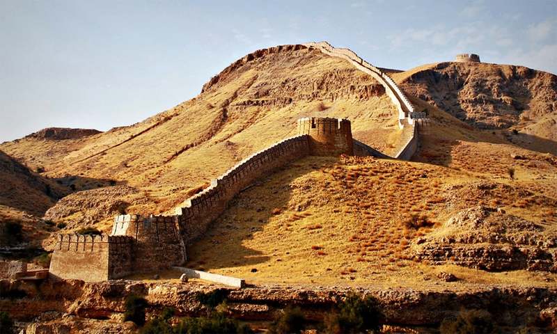
Sindh, a province in southeastern Pakistan, boasts a rich history dating back to the ancient Indus Valley Civilization (circa 2500 BCE), centered around cities like Mohenjo-Daro. Over the centuries, it was ruled by various dynasties, including the Mauryans, Scythians, and Islamic caliphates, which introduced Islam to the region. Sindh became part of the Mughal Empire in the 16th century and later fell under British colonial rule in 1843. It played a pivotal role in the Pakistan Movement and became part of Pakistan in 1947. Known as the “Land of the Sufis,” Sindh is celebrated for its cultural heritage, spiritual tolerance, and historical significance.


Geography
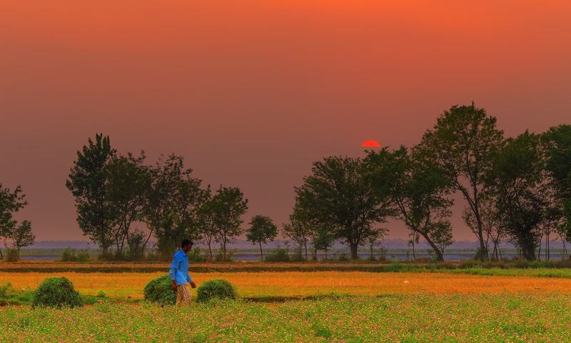
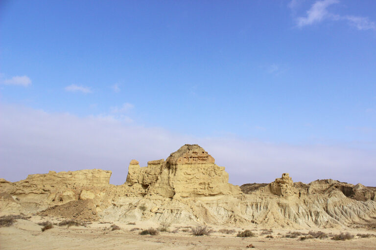
Sindh, located in southeastern Pakistan, is bounded by Balochistan to the west, Punjab to the north, Rajasthan (India) to the east, and the Arabian Sea to the south. Covering an area of about 140,914 square kilometers, Sindh features diverse landscapes, including the fertile Indus River plain, the Thar Desert in the east, and a coastal belt along the Arabian Sea. The Indus River, the province’s lifeline, supports agriculture and sustains its economy. Sindh experiences an arid to semi-arid climate, with hot summers and mild winters. Its strategic location has made it a historical hub for trade, connecting South Asia with the Middle East and beyond.


