Gilgit-Baltistan Tours
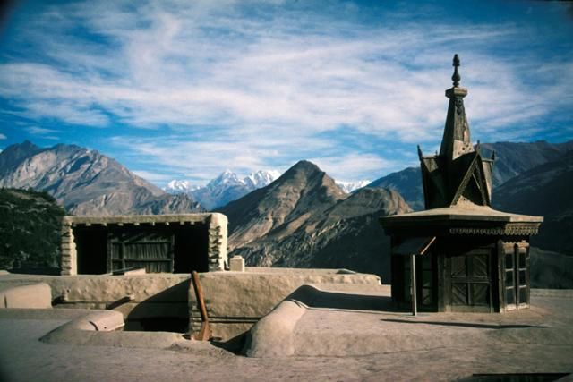
Hunza Valley
6 ToursHunza Tours $100 Spring Tour Hunza And Skardu Valley Mountaineering and Climbing, Trekking May 18, 2018 0 review(s) 6 days $100 Spring Tour Hunza And Phander Valley 12 Days Mountaineering and Climbing, Trekking May 18, 2018 0 review(s) 6 days $100 Apricot Spring Tour Hunza 10 Days Mountaineering and Climbing, Trekking May 18, 2018 0
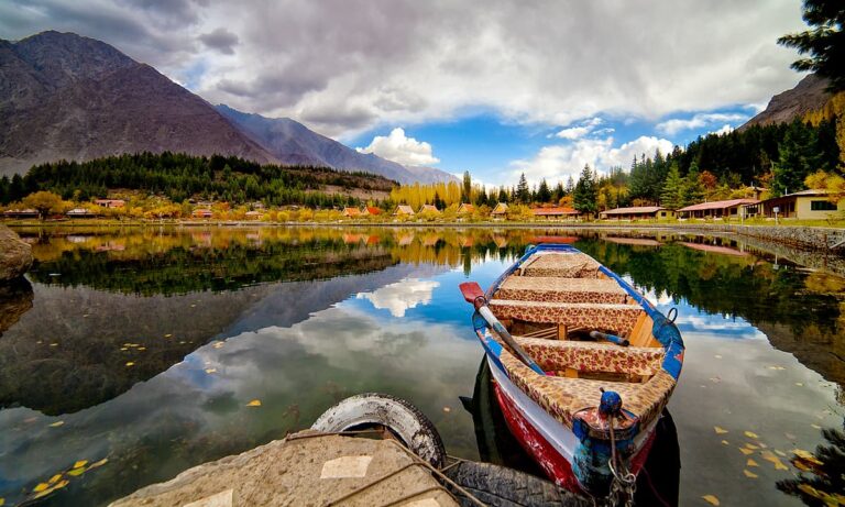
Skardu Gilgit-Baltistan
5 ToursSkardu Tours $100 Autumn Tour Hunza And Skardu Valley 13 Days Mountaineering and Climbing, Trekking May 18, 2018 0 review(s) 6 days $100 Tibet Skardu Baltistan Mountaineering and Climbing, Trekking May 18, 2018 0 review(s) 6 days $100 Astore Valley & Skardu (7 Days) Mountaineering and Climbing, Trekking May 18, 2018 0 review(s) 6 days
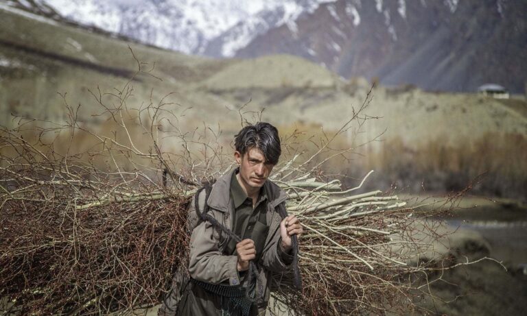
Ghazir Gilgit-Baltistan
0 ToursHistory Ancient history and settlement. Main article: History of the Maldives § Early Age. The first Maldivians did not leave any archaeological artifacts. Their buildings were probably built of wood, palm fronds and other perishable materials, which would have quickly decayed in the salt and wind of the tropical climate. Moreover, chiefs or headmen did not
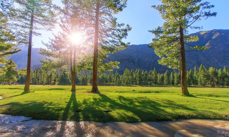
Astore Gilgit-Baltistan
3 ToursAstore Tours $100 Astore Valley and Fairy Meadows (6 Days) Mountaineering and Climbing, Trekking May 18, 2018 0 review(s) 6 days $100 Astore Valley & Skardu (7 Days) Mountaineering and Climbing, Trekking May 18, 2018 0 review(s) 6 days $100 Astore Valley, Hunza and Gilgit (7 Days) Mountaineering and Climbing, Trekking May 18, 2018 0
Chilas Gilgit-Baltistan
3 ToursHistory Ancient history and settlement. Main article: History of the Maldives § Early Age. The first Maldivians did not leave any archaeological artifacts. Their buildings were probably built of wood, palm fronds and other perishable materials, which would have quickly decayed in the salt and wind of the tropical climate. Moreover, chiefs or headmen did not
History
Gilgit-Baltistan, located in the northernmost part of Pakistan, has a rich and diverse history shaped by its strategic location along the ancient Silk Road. Historically, it was a crossroads for various cultures, including Persian, Buddhist, and Islamic influences. The region was ruled by local dynasties, such as the Rajas of Hunza and Nagar, before being incorporated into the Dogra-controlled princely state of Jammu and Kashmir in the 19th century. In 1947, following the partition of British India, the people of Gilgit-Baltistan revolted against Dogra rule and aligned themselves with Pakistan. The region remains geopolitically significant, known for its stunning mountainous landscapes, including K2, and its cultural diversity, with multiple languages and ethnic groups coexisting. Today, it enjoys a special administrative status within Pakistan.

Geography
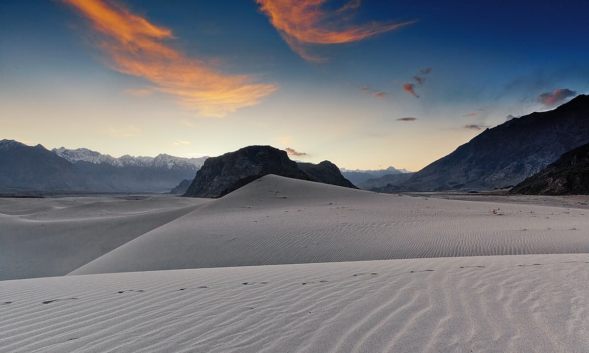
Gilgit-Baltistan, located in the northernmost part of Pakistan, is a mountainous region that spans approximately 72,971 square kilometers. It is bordered by Afghanistan’s Wakhan Corridor to the northwest, China to the north, Pakistan-administered Azad Jammu and Kashmir to the south, and Indian-administered Jammu and Kashmir to the east. The region is home to some of the world’s highest peaks, including K2, the second-highest mountain on Earth, and several other summits in the Karakoram Range. Major rivers, such as the Indus, flow through its rugged terrain, shaping fertile valleys like Gilgit, Hunza, and Skardu. Known for its breathtaking glaciers, alpine lakes, and diverse ecosystems, the region also boasts a rich variety of flora and fauna, from snow leopards to wild apricots. Its unique geography makes it a hub for adventure tourism, trekking, and mountaineering.

